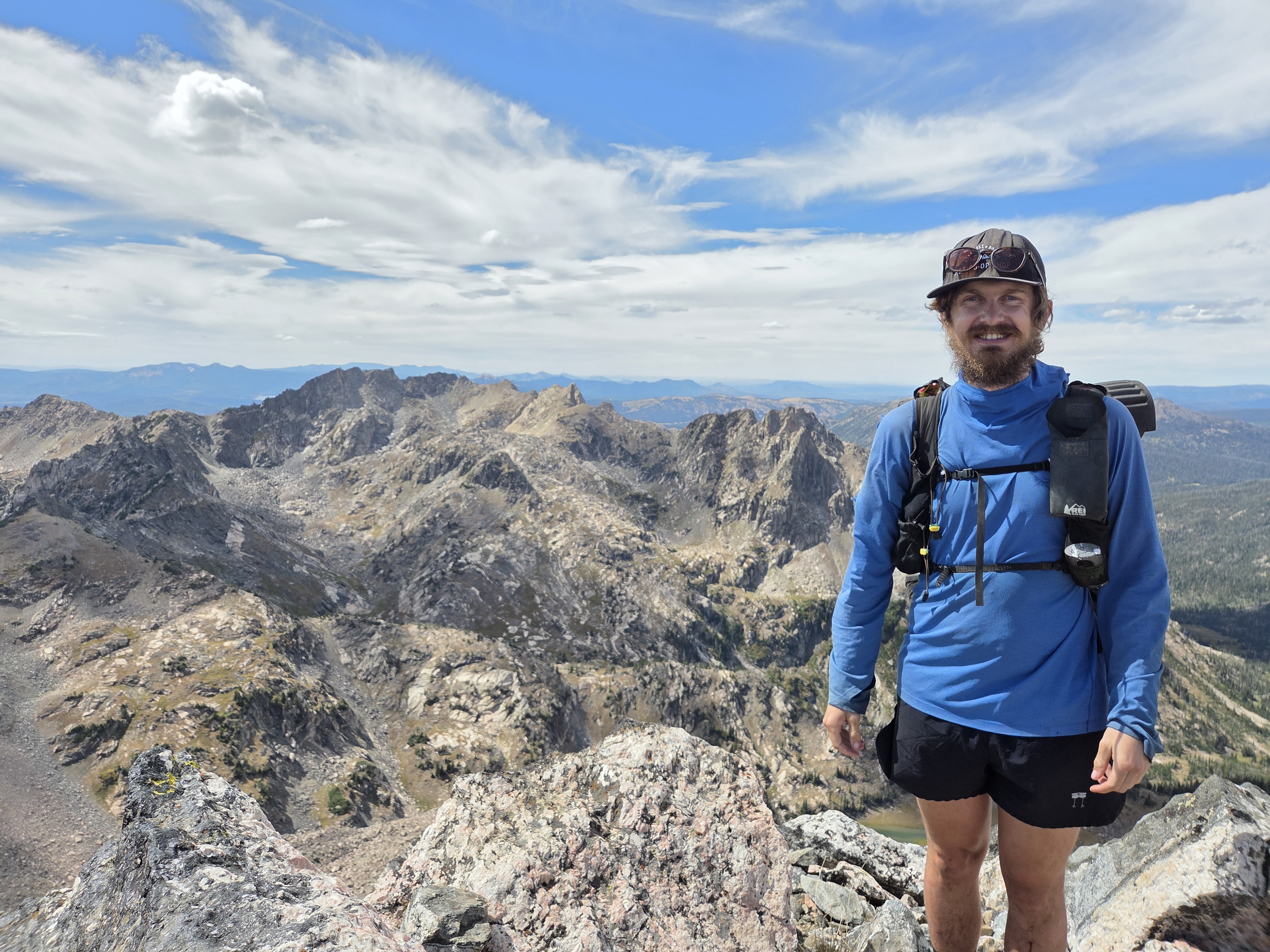
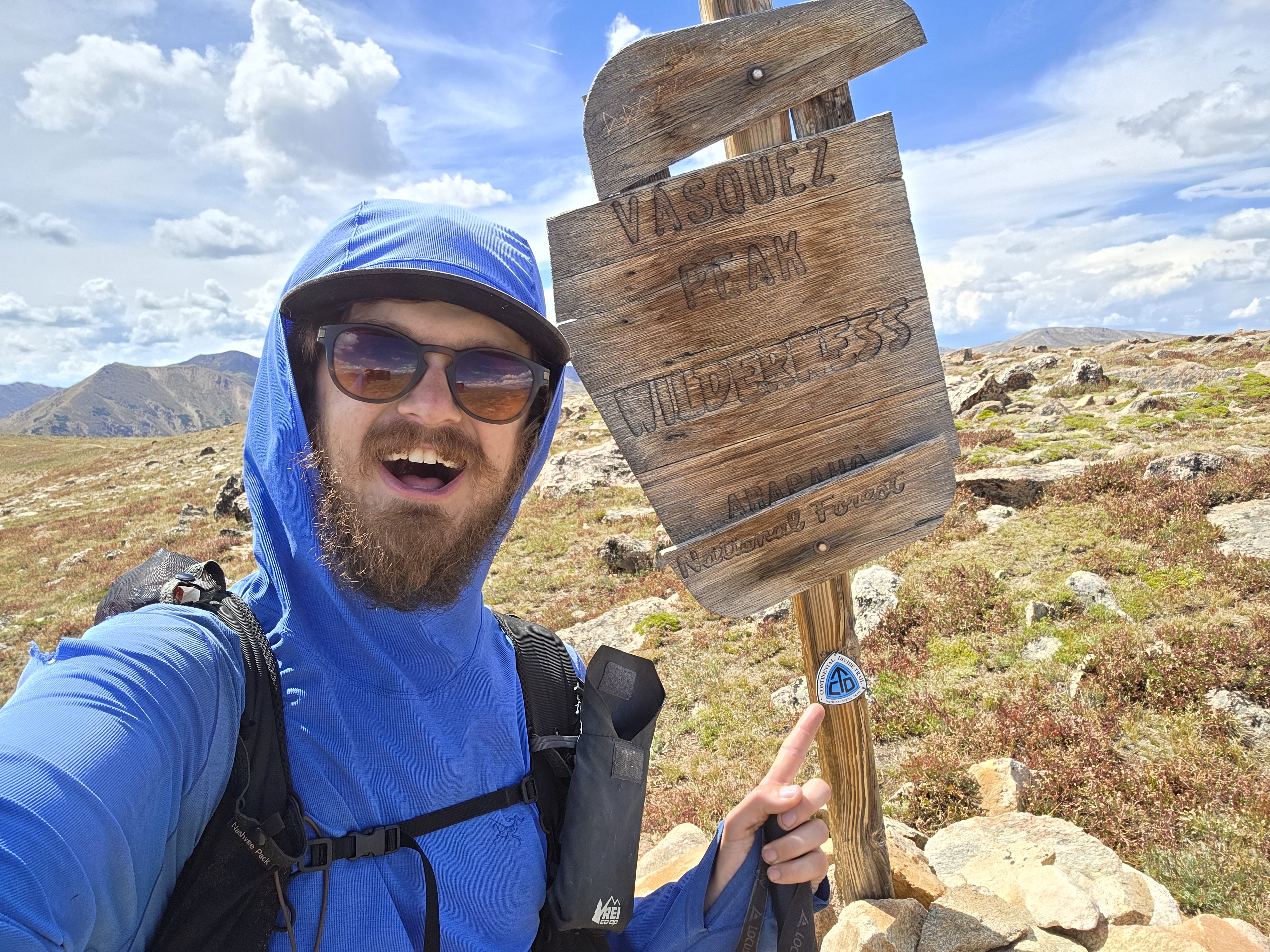
“The storm was directly over me. It was a pure survival moment I was thinking. I was running as fast as I could to Deer Lake.”
Donovan Rice has now been hiking the Great Colorado Route for 126 days and has walked approximately 1808 miles.
His accounts during week 18’s hike included hiking through two more wilderness areas (Sarvis and the Flat Tops) with a trek across the Devils Causeway, wandering past dozens of lakes, and running away from thunderstorms.
Rice is averaging about 14.35 hiking miles/day over the 18 weeks he’s been thru hiking. He’s also nearing the end of his epic journey around Colorado after reaching Glenwood Springs safely to close out the week.
SteamboatING around on a ‘zero’ day
Day 120 was a ‘zero’ hiking day in Steamboat Springs for Rice, and it wound up being a second night of couch-crashing with a hiking friend Megan and her boyfriend James, a couple he came to know after he met Megan on the GRC way back on Day 2.
After arriving in Steamboat on the afternoon of Day 119, Rice replaced some busted equipment, picking up a used sleeping pad at Boomerang Sports Exchange. The old one he’d been using had a irreparable leak.
Back to chores on Day 120, he picked up some more Smartwool equipment in the form of an active fleece hat and wind fleece gloves the Steamboat-based company gave him to help him finish his thru-hike.

Rice also visited the Big Agnes store in town to kill some time between sandwiches from local restaurant Yampa Sandwich Co. and chowing down on homemade pasta at his James’ house.
Into the Sarvis Wilderness
Day 121 started with Rice getting dropped off where we was picked up on Day 119; the Dumont Parking Lot along US-40 near Rabbit Ears Pass.
“It was a little bit of a dirt road walk to start off the day, but every now and then it would open up and just give you these beautiful views of the mountains here,” Rice said in his Day 120 social media post.
From there he began hiking south on Buffalo Park Trail toward Routt Divide Trail in order to access the Sarvis Creek Wilderness.

“I passed some hunters and I’m beginning to think that there are more people looking for elk than there are elk in this part of Colorado right now,” Rice said.
This section of trail stayed below treeline nearly the entire way, which gave Rice a rest from tundra hiking as he starting making his way toward Oak Creek and the Flattops Mountains.
He also passed by several blooms of Pearly Everlasting, a common wildflower found throughout Colorado’s mountainous regions.

Rice entered the Sarvis Creek Wilderness area at the Upper Sarvis Creek TH, hiking through the Sarvis Fire and Silver Creek Fire burn zones at first.
“The trail eventually brings you to an old burn zone and just opens up the views for miles,” Rice said.

He kept heading west along Sarvis Creek for several more scenic miles through the dense forest-filled valley before calling it a night along Sarvis Creek in an open meadow.
For Day 122, Rice left his camping spot and continued west toward Stagecoach Reservoir on the Sarvis Creek Trail passing through more meadows.

“The trail brought me past a bunch of beautiful ferns,” Rice said in his Day 122 social media post. “I can’t believe I didn’t even realize that Colorado had ferns like this.”
Once he reached the reservoir, he had a small issue of crossing over it; the trail dead ended at the dam. But Rice eventually picked up the Elk Run Trail on the other side of the dam after a minor detour back down to the road.

This route gave Rice beautiful views of the water and Thorpe Mountain to the northwest as he had wonderful weather all day long.
Rice did have to walk on some roads (County Road 14 and CO-131) in order to close out the day into Oak Creek, but Rice is used to this practice on the GCR; a short stint on a highway to make the route possible.
“Traffic was pretty light and the shoulder were manageable and it’s only five miles with these stunning views,” Rice said.
Rice took up refuge for the night at the motel in Oak Creek, saying in part “I love the vibe of these small towns across Colorado that I get to visit,” Rice said.
Beautiful day for a road walk
As the GCR thru-hike would have it, Day 123 turned into another mostly road walk for Rice as he departed Oak Creek southwesterly on County Road 25.
He traveled along the aptly named Oak Creek past the Valley Mine to County Road 132, aka the Flat Tops Scenic Byway, on his way to Sheriff Reservoir.

“In a perfect world the GCR would be like the Colorado Trail where there’s just a straight shot of public lands, but alas, that’s not the case,” Rice said in his Day 123 social media post. “The views of the other side of the Yampa Valley will be worth it.”
Rice did notice the weather forecast was looking unfavorable after this day’s hike, but kept in good spirits about the forecast initially.
“I’m going to do my best to navigate around the lightning storms,” Rice said.
Rice eventually made it to Sheriff Reservoir, but continued past it a bit more on the Black Mountain Creek Trail into the Flat Tops Wilderness.

Once near a highpoint on the trail, Rice took a scenic route off his friend Soren’s recommendation and detoured away from the main route up Mandall Pass.
“It was cross country to start, but eventually I did find a trail. I’m not sure if it was an abandoned old one or if it’s just a social trail,” Rice said. “At any rate, the views were absolutely stunning.”

Rice set up camp near Mandall Pass for the night.
The Devil is in the Clouds
To start Day 124, Rice started his day breaking camp and ascending up to Mandall Pass. This deviation from the planned main GCR route paralleled the route but was just to the east a mile or so.
It did allow him to arrive to his first hurdle-of-run for the day; a narrow walk along the Devil’s Causeway.

Five fun facts about the Devil’s Causeway:
- Razor-Thin Width: The dramatic land bridge narrows down to just 3 to 4 feet wide in places, creating a narrow ridge with no handrails.
- Sheer Drops: Flanking the narrow path are steep, vertical drop-offs of several hundred feet on both sides.
- High Altitude: The dramatic crossing sits at an elevation of approximately 11,800 feet above sea level.
- On All Fours: Due to the intense exposure and vertigo-inducing drops, many hikers abandon walking upright and instead cross on their hands and knees or in a low squat.
- Volcanic Origins: Unlike the jagged granite peaks of the traditional Rocky Mountains nearby, the Flat Tops are volcanic in origin, formed from vast, flattened basaltic caps carved by ancient glaciers.
After crossing the Devil’s Causeway, Rice joined the Chinese Wall Trail and continued southward.
At first the views along Deer Lake Trail were amazing, but drama was brewing in the skies to the southwest.

Somewhere on trail between Trappers Lake to the west and Little Marvine Peaks to the east, all hell broke loose and Rice was in the middle of a heavy rain storm.
“The storm was directly over me,” Rice said “I didn’t even stop to take a photo. It was a pure survival moment I was thinking. I was running as fast as I could to Deer Lake.”

It was not just heavy rain around him, but heavy hail with lightning and thunder all around too.
Deer Lake ended up being the end of the hike that day, a spot Rice found some solace at for the night as the rains lingered throughout the evening.
On Day 125, Rice gathered himself up after a wild and rainy afternoon the day before, pushing onward from his camping spot at Deer Lake.
Rice first pushed past Island Lake and Upper Island Lake, then jumped on the Wall Lake Trail for a short distance.
The forecasted weather for this day was similar to the last, with a 30% chance of lightning for 6 hours in a row. Rice decided to not chance staying on the Wall Lake Trail, the high route, and went low onto the low route of Trappers Lake Trail.
Eventually he made it to Trappers Lake and was rewarded with great views as he turned onto the Rim Lake Trail.

“I went down the Rim Lake Trail instead,” Rice said. “It was a Bob Ross happy accident happening. I think it also could be a great leaf peeping spot in a week for backpackers.”
At the junction with the Sweetwater Trail, Rice turned west and followed it toward Coffee Pot Road, which eventually would lead him to Heat Lake Reservoir.
“I took Coffee Pot Road for a bit, then camped along the road to close out the night,” Rice said.
Rice was unable to ascend or hike around bigger features like Triangle Mountain, Trappers Peak or Timber Mountain, which were on the main GCR route, but such is the way of weather out in the wilderness.
“If you play it safe, weather will be perfect and you should have gone high. If you roll the dice, weather will be terrible and you should have gone low.”
Last stretch to Glenwood Springs
To close out the week on Day 126, Rice left the Heart Lake Reservoir area via Transfer Trail Road heading south.
He was hopeful to stay along his planned route, taking him past Windy Point Overlook, then having TTR drop him straight into Glenwood Springs on the north side of town.
“I wasn’t sure what Windy Point was like with lightning exposure, so I just took the trail that dropped me down in elevation quicker,” Rice said.
A few miles north of Windy Point, Rice chose to descend cross country toward Ute Lake on the Ute Lake Trail, but ran into another problem.
“It turns out the trail was closed for reconstruction after the 202 Grizzly Creek Fire,” Rice said. “I was wondering why the trail was in such rough shape (extremely overgrown and some annoying deadfall). Then I hit a short section where they are building new trail and replacing a bridge that was out.”

Eventually Rice navigated around the closure and jumped on the Jessie Weaver Trail into No Name Creek.
“It was a really poorly maintained trail once I turned south on No Name Trail,” Rice said. “It was borderline unpleasant to have the route go this way. Is this adventurous or just unpleasant. You might want to hike this with pants.”
The hike down was not all doom and gloom, however. Rice walked past the still flowing No Name Falls.

Rice eventually made it out of the wilderness into Glenwood Springs and was hosted by a bikepacking friend Rice met in Silverton on Day 49, that lives in town.
Day 126 was also a very long day of hiking. Rice said he hiked 27.5 miles on the day.
What’s ahead for Rice
Rice will start week 19 with a ‘zero’ day in Glenwood, then start hiking south on the Rio Grande Path to El Jebel and Carbondale.
Rice said he’ll look at hiking on equestrian trails through The Crown south of El Jebel since most of those trails are mountain bike specific.
After that, Rice will starting his last big experience: The Maroon Bells-Snowmass Wilderness.
“Spirits still feel good.”
He said he’ll have to carry six days worth of food and water through MBWA with lots of routes to chose from to not only make it through the section safely but see and experience some epic wilderness along the way.
“I’m not too optimistic about the Ruby Traverse once south of Maroon Bells and Yule Pass,” he said. “I’ll probably do a ‘zero’ day in Crested Butte after the Maroon Bells is completed. Then the last push back to Black Canyon of the Gunnison.”
In his own words
Most satisfying moment from week 18
- “My most satisfying moment this week was (hiking) Mandall Pass to the Devil’s Causeway,” Rice said. “The Flat Tops are stunning and underrated.”
Most challenging moment from week 18
- “The biggest challenge this week was navigating weather windows through the Flat Tops,” Rice said. “Lots of lightning, exposed terrain, and the weather this week was feisty and unpredictable.”
What he’s learned from week 18
- “My biggest lesson this week was that I’m not out of the woods yet,” Rice said. “Just because the most technical terrain is behind me doesn’t mean other risks, like lightning, are gone.”
Discover more from Rocky Mountain Journal
Subscribe to get the latest posts sent to your email.