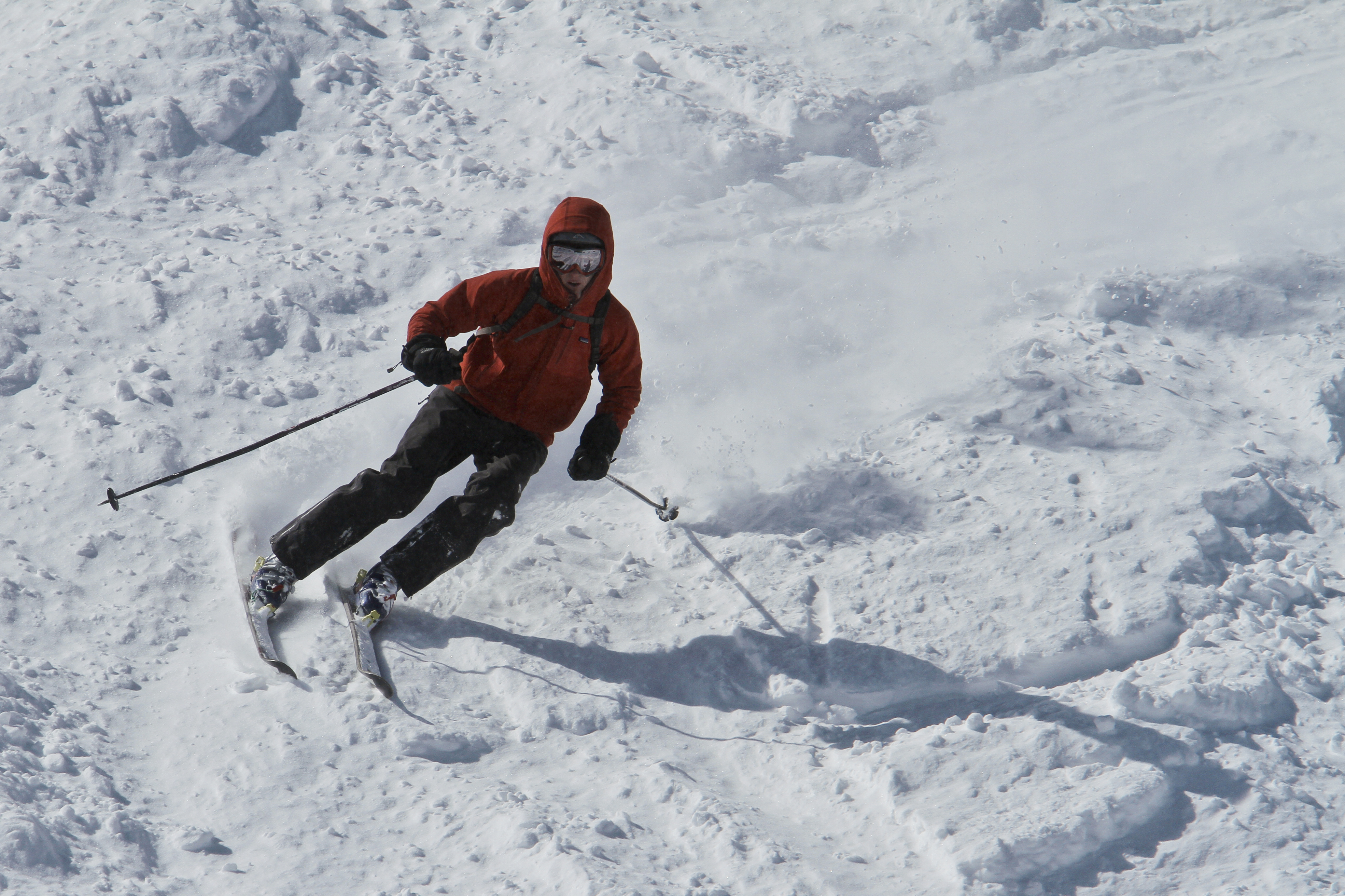
No lift-accessed ski area in the state recorded greater than 200″ inches of seasonal snowfall as of March 30
Much needed snow and precipitation return to Colorado’s high country in two waves over the next five days as April starts on Wednesday.
Rain and snow return to Colorado with one storm entering the state on March 31 and the other on April 3 and the possibility for a 12-18″ of snow is forecast.
Colorado’s high country and subsequent ski areas have had a very rough winter 2025/26 season, with not one single ski area recording over 200″ of snow so far; 11 ski areas closed for the season earlier than projected.
Forecast:
The first forecasted snowfall in at least two weeks arrives Tuesday afternoon across the high peaks of all three mountain zones. Snow will be light through Tuesday afternoon/evening and into overnight Wednesday before the brunt of the energy arrives Wednesday morning.
Snow continues into Thursday early morning, with the heaviest amounts of snow forecasted for the southern and central mountains, but the northwestern mountains (Park, Elkhead and Flattops) should be moderate snow totals by Thursday mid day.

The ECMWF forecasts snowfall totals by Thursday afternoon/evening in the northern mountains from between 4-14″ with the highest amounts west of the Continental Divide, in the central mountain between 3-22″ with the highest amounts in the Elk and West Elk mountains and in the southern mountains between 3-16″ with the highest amounts in the San Juan Mountains.
Mountains east of the Continental Divide including the Sangre de Cristo, Wet Mountains, Pikes Peak and eastern Front Range are forecast to receive between 3-6″ with the highest amounts in Rocky Mountain National Park.

The second wave of storm energy, coming in from the west northwest, arrives Friday early morning and is forecast to last through Saturday morning.
Additional snowfall totals in the northern mountains are from between 5-10″ with the highest amounts in the Park, Flattops, Medicine Bows and Elkhead mountains, in the central mountains between 4-8″ and in the southern mountains between 2-4″ mostly in the northern San Juan Mountains.
Temperatures associated with the first storm wave will be around seasonal averages (25-30 degrees during the storm), meaning the snow could be some what wet, however, cooler air associated with the second storm wave should bring drier and softer snow, with temperatures in the low 20s and upper teens during the storm.
Statewide, snowfall totals range from between 2-8″ across all three mountain zones below 9,000 feet to above approximately 6,000 feet.
Colorado’s snowpack:
Colorado’s statewide snowpack dropped below 25% of median average as of March 30, keeping it as the lowest snowpack in the SNOTEL-era and below winter 1980/81 and 1976/77 records, when snow course measurements were used.

Snowpack peaked from between March 8-12, a full month ahead of the average median peak date of April 8, as well as 6.9 inches of snow water equivalent lower than the 15.4 inches average.
Ski area facts heading into April:
As of March 30, no lift-accessed ski area, including Silverton, cracked 200″ of recorded snowfall from winter 2025/26.
Only Irwin Ski Lodge west of Crested Butte has recorded over 200″ at 211.8″, according to the cat-skiing company’s website.
It is possible that Winter Park (172″) and Wolf Creek (173″) could pass the 200″ mark by their closing dates with the incoming forecasted snow storms.
It is also possible other ski areas like Loveland (151″) and Arapahoe Basin (est. 140-150″) reach 200″ or more by the end of their respective seasons. For context, Loveland’s lowest recorded seasonal snowfall total was 238″ during the 2001/02 season.