“I feel like I truly have my trail legs now, that tends to kick in around the three-month mark”
Donovan Rice has now been hiking the Great Colorado Route for 91 days and has walked approximately 1,221 miles, plus is on pace to hike nearly 2,000 miles by hike’s end; an uptick from the approximate 1,700 planned miles.
His accounts during week 13’s hike included suffering, or as he said ‘savored’, the Manitou Incline, summiting Pikes Peak and walking among giants, aka the 1-billion-year-old rocks, in Lost Creek Wilderness.
Rice is now averaging 13.4 hiking miles/day over the 13 weeks he’s been thru hiking. His goal is to try and up the miles to between 20-25 miles/day over non-technical stretches while still maintaining around 13.5 miles/day overall.
Garden of Gods & Masochists
“Good morning Colorado and welcome to Day 85 of the Great Colorado Route. Today I do both the Garden of the Gods and the most masochistic mile of the entire route, the Manitou Incline,” Rice said of how he began week 13 on his thru-hike around Colorado.
Rice’s main GCR route initially skirted the Garden of the Gods, taking him into the west side of Manitou Springs proper, then up the Incline and back into the wilderness.

“My original plan was to follow the perimeter trail (in Garden of the Gods),” Rice said in his Day 85 social media post. “Then I came across a worker and I asked, ‘hey, are there any side spurs you’d recommend?’ and they pointed me to this direction and yeah, totally worth it.”
Rice also visited the Siamese Rocks, the highlight of his time in the park.
He took the convenient river walking trail through Manitou Springs, then loaded up on manganese courtesy of soda springs water before tackling the Manitou Incline.
“You don’t want to drink in excess, but you’re going to have a hard time doing that because they are quite flavorful,” Rice said of the mineral-rich water.

Loaded up on electrolytes, Rice ascended the 2,768 steps of the Incline, saying in part “it’s truly masochistic.”
The rest of Rice’s day was easy peasy a he made his way to Barr Camp, settling down for the night in a bunk bed before his attempt of Pikes Peak the next day.

Pikes Peak, America’s Mountain
On Day 86, Rice made his way out of camp from Barr Camp and went straight after summiting 14,115-foot-tall Pikes Peak.
“That day went without a hitch,” Rice said. “(I had) great weather, hung out at the summit visitor center, ate one of the famous donuts, then worked my way down. The whole west side of Pikes Peak is really underrated for hiking.”

Pikes Peak is the most visited overall Colorado 14er annually due to its closeness to the Front Range and ease of accessibility via both the Pikes Peak Cog Railway and Pikes Peak Highway.
However, it does not receive as much foot traffic like other 14ers such as Quandary Peak, Mount Bierstadt, Grays and Torreys peaks and the DeCaLiBron Group.
But Pikes Peak still ranks high on the visited list compared to some 14ers. Hard to reach peaks like Culebra Peak, San Luis Peak and El Diente might only see a few dozen visitors each year.
On his descent northwest, Rice passed through the Devil’s Playground, a rock formation at 13,070 feet “So named because of the way lightning jumps from rock to rock during a thunderstorm.”

According to several sources, the Devil’s Playground has one of the highest averages of ground lightning strikes in the U.S.
Rice continued northwestward on the Crags Trail, taking in the remaining scenery of the quieter side of Pikes Peak before setting up camp near the Crags Campground.
County roads are a hiker’s best friend
For Day 87, Rice left the Crags Campground area and made his way onto CO-67, another ‘connector road’ he’d have to utilize heading north into Divide for some supplies.
“In a perfect world I’d have cut straight across Mueller State Park, but as far as I could tell there’s only one legal access point from that same highway,” Rice said. “There’s a trail that looks like it connects back to the highway further north, but when I got there it was posted ‘no legal access’.”

There are trail systems in this part of Colorado, but are mixed together with several plots of private land and roads, making for not an easy and direct route connection.
But Rice embraced the road walking, finding Cedar Mountain Road becoming his newest friend.

“I shaved a little distance by not following Cedar Mountain’s full route where it takes a left turn,” Rice said. “I figured if I’m already walking dirt roads, adding a tenth of a mile of pavement to cut the overall road-walking was worth it.”
Rice finished out the day on Crystal Creek Road after walking along the OHV trail named Signal Butte Trail, setting up camp for the night along the trail.
Let’s go ford a River
For Day 88, Rice was confronted with a choice: which spot would he try to ford the South Fork of the South Platte River.
“I’d planned to take the easy route across the South Platte, over a bridge, but it turned out to be one of those classic cases where what used to be public forest access is now a gated community,” Rice said. “So I hit a dead end and had to turn around. That was about seven miles of wasted effort, walking three and a half miles back uphill.”

His planned GCR route took him across the South Platte at Forest Road 220A, upstream from the confluence of the South Fork of the South Platte and Tarryall Creek.
After reassessing the situation after the fairly large detour, Rice deemed crossing the South Platte further upstream would be better.

“It actually worked out for the better, though,” Rice said. “That spot is a beautiful little oasis, my map called it ‘Hackett Gulch’ though I wasn’t sure if that’s the actual name or just the nearby canyon.”
Rice continued his path on more dirt roads toward Goose Creek Trail, the southern entrance to the Lost Creek Wilderness, stopping for the night before this unique wilderness area.
Hiking amongst Giants in Lost Creek
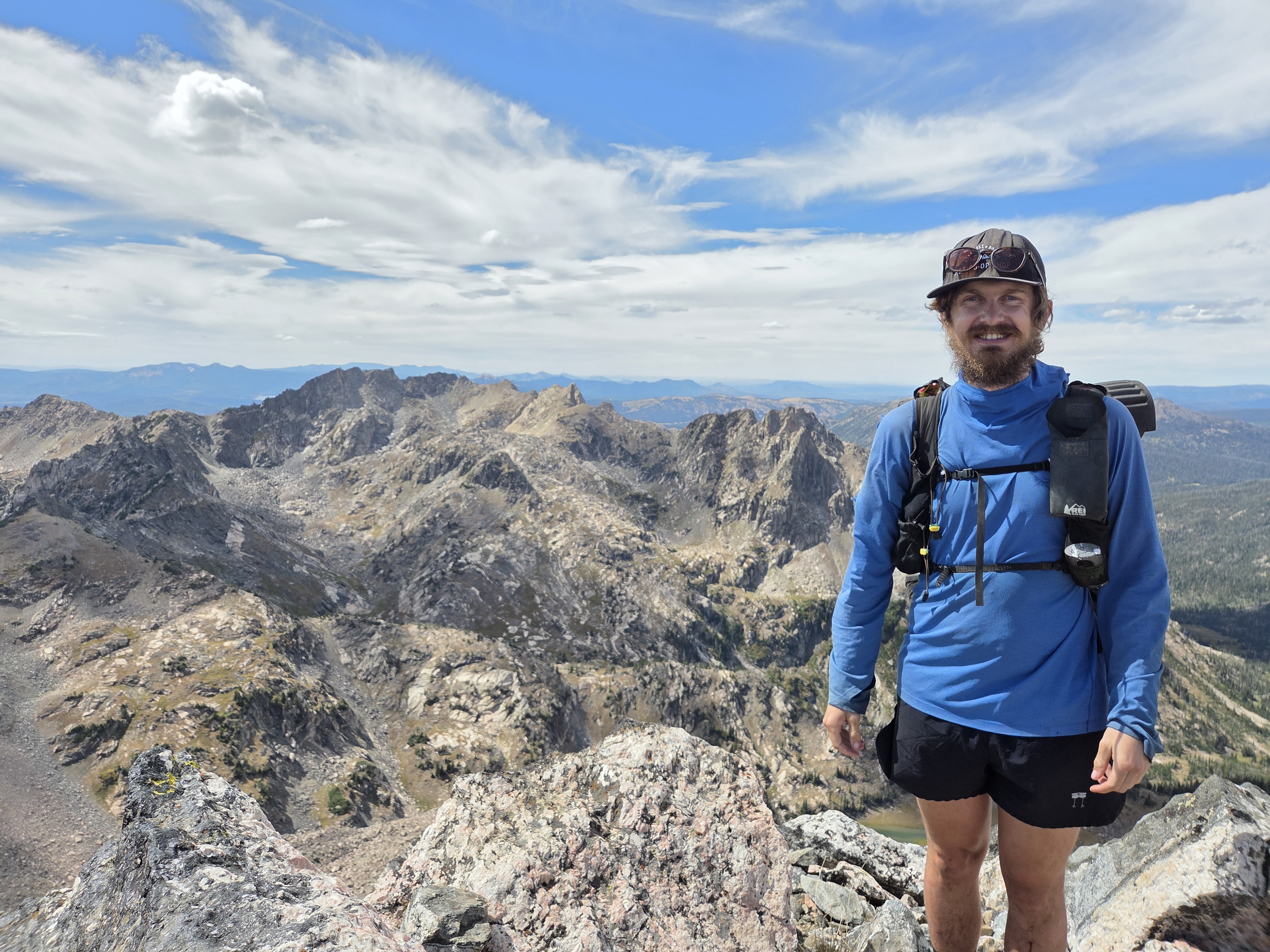
Rice hiked through the gorgeous landscape of the Lost Creek Wilderness on Day 89, summiting Bison Mountain as well.

“Goose Creek is genuinely beautiful,” Rice said of the start to his day. “I know it’s a popular backpacking loop, with access from either the Goose Creek trailhead or the Lost Park Campground trailhead. From there the route splits off past McCurdy Mountain toward Bison Mountain, where there are these incredible rock formations.”
Rice also wondered how the rocks ended up like they did, like a set of four rocks forming a near-perfect arch, not fused together and sitting on top of a rise.

The story goes, the rocks in Lost Creek Wilderness were formed roughly one billion years ago when molten magma cooled deep underground, creating a vast block of Pikes Peak granite, according to Smithsonian Magazine.
Over millions of years, tectonic uplift pushed the mountains up, and wind, rain and ice weathered away the softer outer rock layers to expose the durable granite.
Three key factors of how the domes and boulders were sculpted.
- Exfoliation: Pressure release caused the rigid granite to crack into curved, onion-like sheets, forming the signature rounded domes and smooth knobs.
- Spheroidal weathering: Water seeped into vertical and horizontal fractures, eating away at sharp block corners to turn giant cubes into massive, stacked “gum-ball” boulders and rare natural arches.
- Collapsing piles: As blocks shifted and the base soils eroded, huge jumbles of boulders tumbled into narrow gorges, creating the famous underground channels where Lost Creek vanishes from sight.
After spending his time among the rock giants, Rice camped along Segment 4 of Colorado Trail near North Fork Lost Creek.
Exiting the LCW and scouting ahead
For Day 90, Rice closed out the Lost Creek Wilderness and hiked the Brookside McCurdy Trail into Bailey, where we had booked a two night stay at the Bailey Lodge.
Rice originally wanted to hike the Alphabetizer Route along the Kenosha Mountains spine, but found it “radically inefficient” where anyone looking at the map would say “hell no” and just stay on the trail.

Rice did run into some logistical issues once in Bailey, however.
He arrived at the Two Daughters Ice Cream truck only to realize that the man who was housing him during his stay in town wasn’t the owner of the Colorado Trail hostel hikers frequent, Two Bridges, but the owner of the Bailey Lodge, which was two miles west of town.
“I bummed a ride from a kid at the ice cream place, then scouted some roads with my mom who came down from Golden, did laundry and ate at the yummy Mexican restaurant in town,” Rice said.

Rice said he continues to run into the same issue about accessing public lands because of all of the private land and roads around some of the towns he is hiking through on the GCR.
“Whenever I leave, I can’t take 101 Crow Creek Road due to private road from the eastern side,” Rice said. “I can avoid some of 285 through Crow Valley Road either all the way or earlier exit on Old State Road to Marble Lane. Unfortunately I have to do 285 before there and after there (just to Deer Creek Road).”
On Day 91, Rice took a ‘zero’ day in Bailey, finishing up his resupply and checking the weather forecast because another round of monsoon rain was forecast over the next few days.
Rice also said he is contemplating cutting out Bailey for a future iteration of the route because of the hardship hikers could face with skirting private roads and land, which seems to hinder access to the public lands thru-hikers want to experience.

“Kenosha Pass is the only solid trailed option, but cross country down to Grant, Colorado via County Road 62 looks like a possible workaround to explore after this trip,” Rice said.
What’s ahead for Rice
Rice will start week 14 hiking out of Bailey, making his way north and northwest toward Mount Blue Sky, Mount Bierstadt and the Sawtooth Traverse before crossing Guanella Pass and making his way west toward Summit County.
“Forecast is still looking wet, but not as apocalyptic,” Rice said. “I will make some game day decisions on whether Sawtooth Traverse is appropriate.”
Once across Guanella Pass, Rice will be above treeline for a while as he makes his way past the Square Top Lakes up the ridge south of Argentine Pass and Argentine Peak.
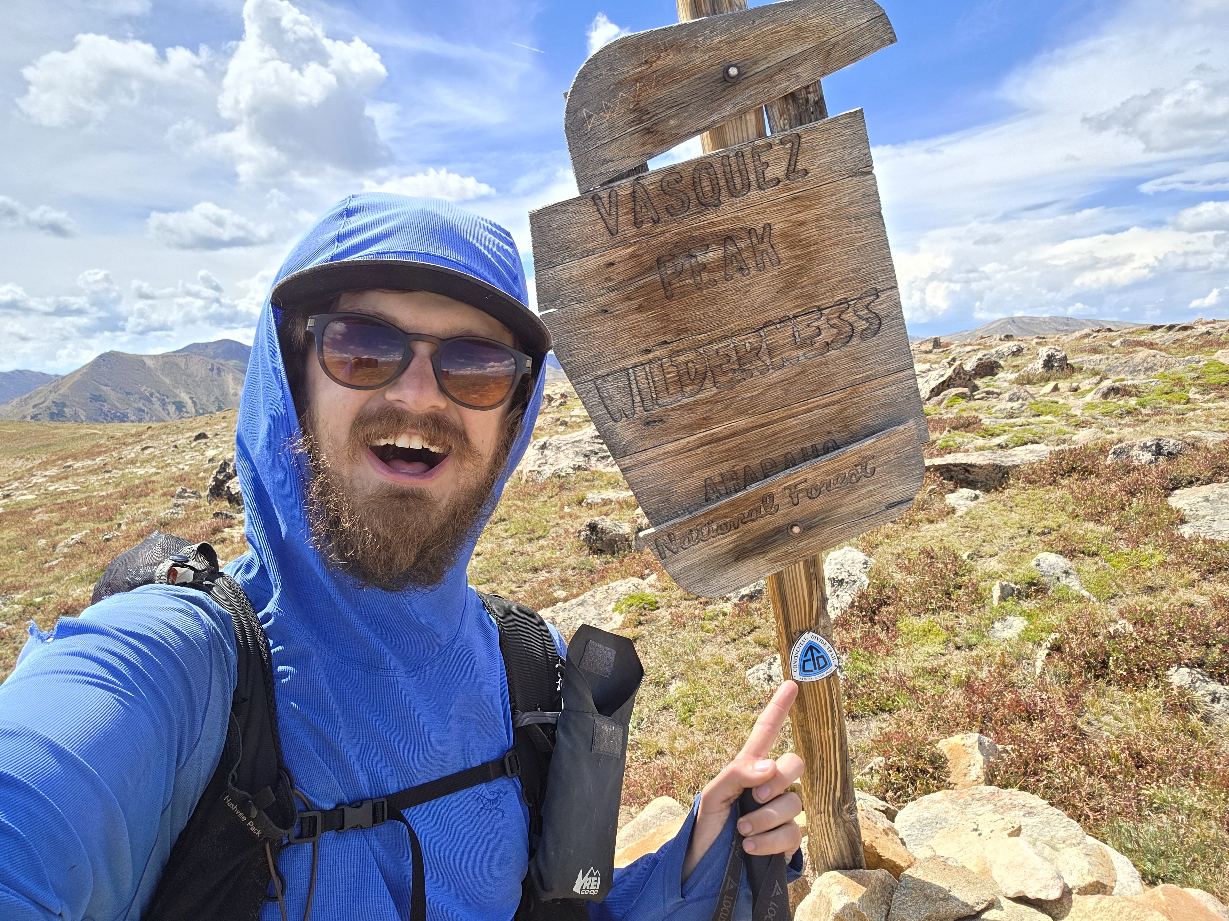
Eventually he should link up with part of the Continental Divide Trail just west of the old mining town of Montezuma. Then he’ll make his way toward Breckenridge and the Ten Mile Range.
In his own words
Most satisfying moment from week 13
- “My most satisfying moment this week was Lost Creek Wilderness,” Rice said. “It’s so underrated and the rock formations are so cool!”

Most challenging moment from week 13
- “The biggest challenge this week was the Manitou Incline in the midday heat,” Rice said. “If only there was an easier way up Pikes Peak…”
What he’s learned from week 13
- “My biggest lesson this week was that accessing public lands is only half the battle,” Rice said. “You also have to be able to exit them.”
Discover more from Rocky Mountain Journal
Subscribe to get the latest posts sent to your email.