Taking 4 months to complete, the hike ventures through some of the state’s scenic wildernesses, summits multiple 14ers and explores arid high deserts
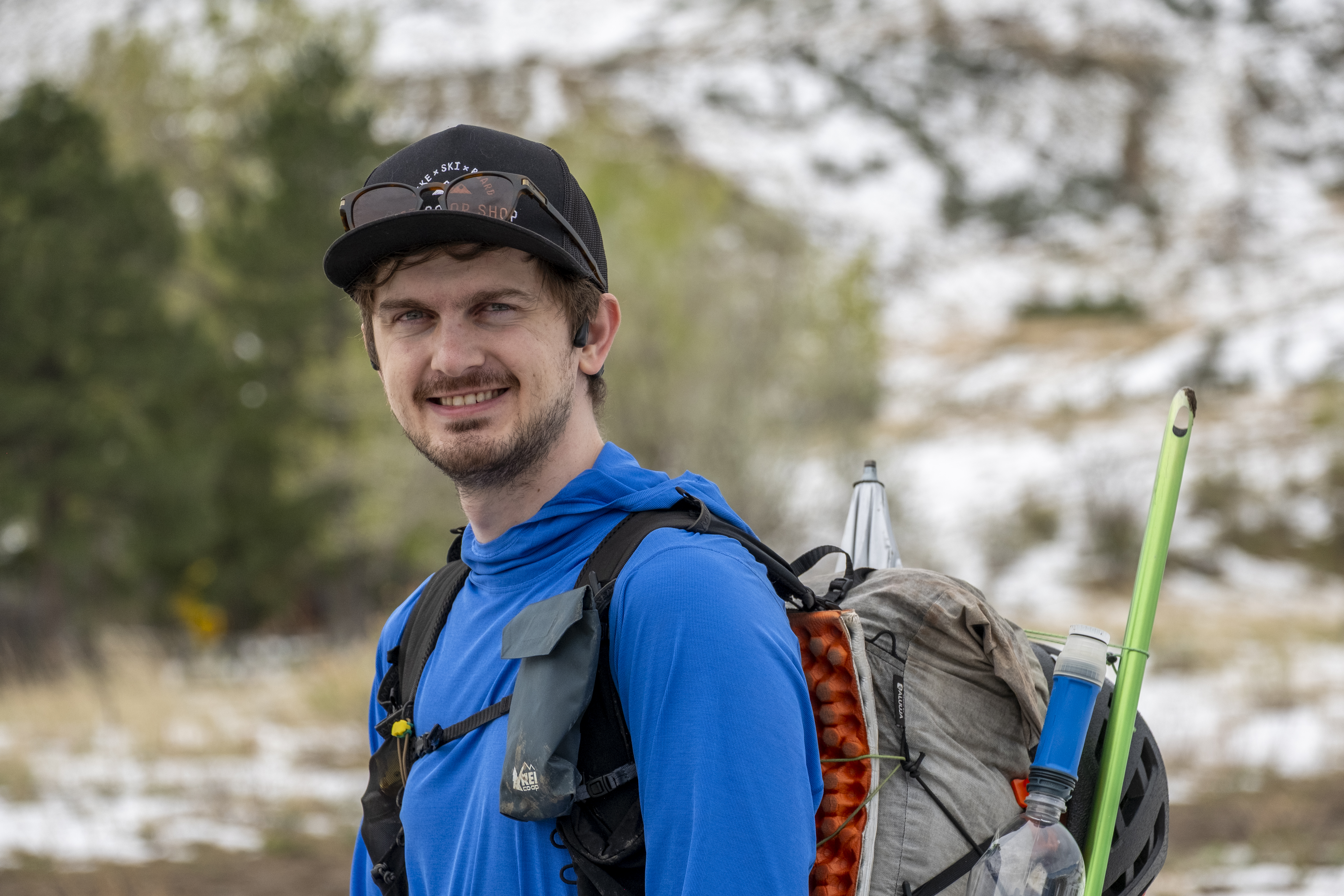
Donovan “Iceman” Rice just began a thru-hike in Colorado on Thursday, May 14.
He started from Chasm View near the North Rim Ranger Station at the Black Canyon of the Gunnison National Park southeast of Delta.
He won’t return to his starting spot for roughly four months.
His thru-hike is a first attempt of the new Great Colorado Route (GCR), a massive 1,700-mile technical backpack hike Rice designed and has been planning to accomplish over the last several months.

The route wanders hikers through 29 wilderness areas, 11 national forests and three national parks, and comprises of 32 main sections with approximately 200 alternate or backup routes.
Rice will also gain 381,000 feet of elevation over the entire expanse, or the equivalent of summiting Mount Everest 13 times.
But that’s not everything Rice will experience while out on the trail.
He designed the route in part so he could also climb 13 fourteeners and 47 thirteeners while utilizing public lands or public roads 100% to complete the route.
“I really want this to be a ‘chose-you-own-adventure’ kind of trail people can modify as they see fit,” Rice said.
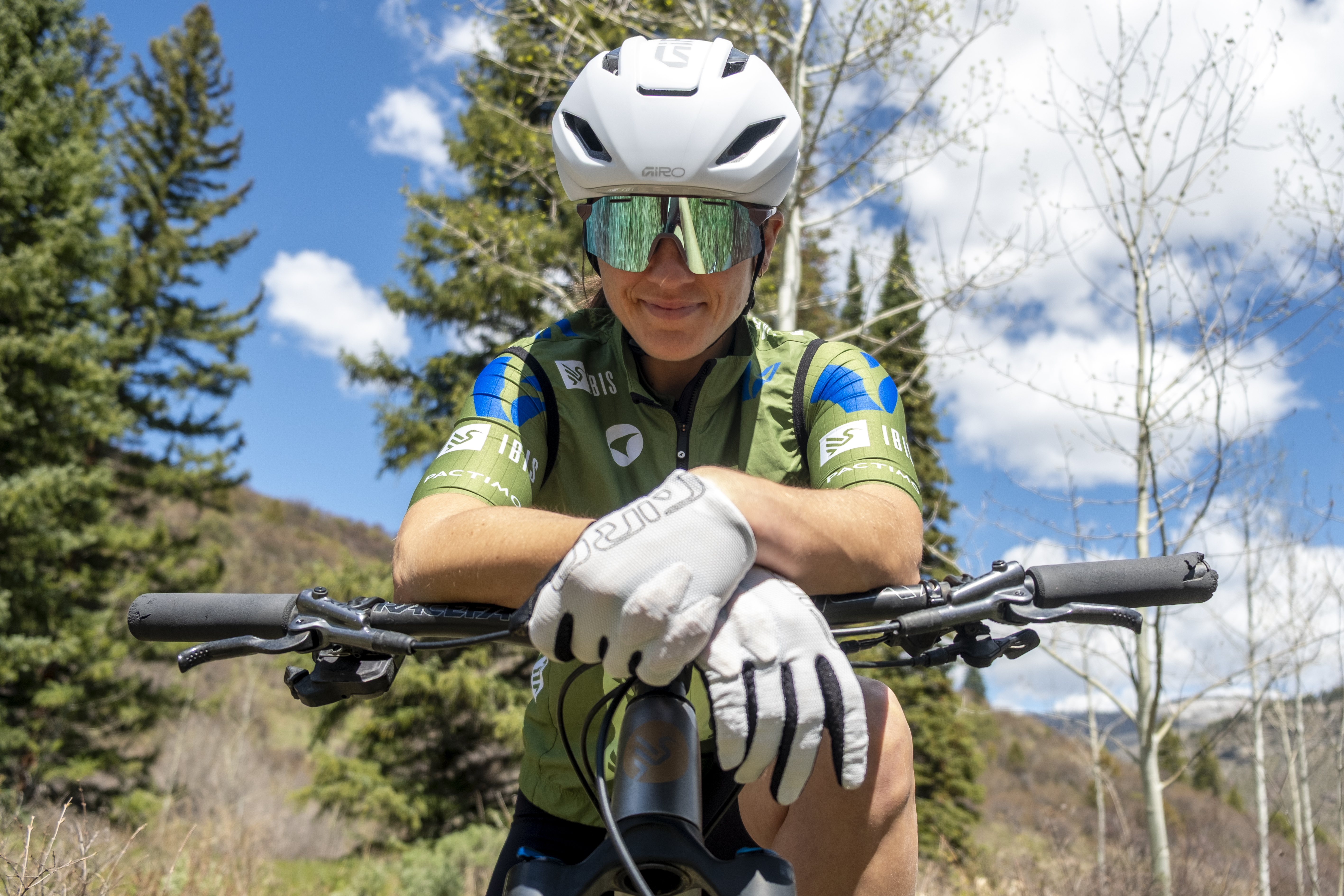
Rice is an experienced thru-hiker, with a claimed 11,000 miles under his feet.

According to Rice the GCR is going to be that adventure, which prioritizes ridgeline hikes over hikes along well established trails.
He said the GCR takes hikers on a journey around Colorado exploring several areas not on the Continental Divide Trail nor the Colorado Trail. The GCR, however, utilizes some sections from both but does not rely heavily on either.
“It’s an opportunity to highlight areas such as Pikes Peak, the Lost Creek Wilderness, Mount Blue Sky, the Gore Range and then up north highlighting places like the Rawah Wilderness and Mount Zirkel,” Rice said.
Rice also talks about the GCR in a humble and calm but excited way.
“I’m not the biggest or fastest hiker, but just committed to being out there,” Rice said of his experience level and physical condition ahead of the thru-hike. “I’ve done the Pacific Crest Trail, the Appalachian Trail, the Continental Divide Trail, and as much as I love those trails, I really love my home state and wanted something that was a maximalist approach, trying to get every beautiful site in there as possible.”
Rice has a simple philosophy about the GCR too.
“The three guiding principles (to the GCR) are beauty, breadth and epicness, so you can expect to see some of Colorado’s most treasured and hidden gems, experiencing the full variety of Colorado.”

After returning from home from the Eastern Continental Trail (ECT) in October 2025, Rice began plotting out the GCR, fixating on including all the cool spots in Colorado he could think of.
This included his favorite mountain range, the Sangre de Cristo Mountains in southern Colorado. He then began the tedious task of linking all the points together.
Using the GAIA GPS app, Rice built the entire route over the last several months.
He placed way markers of places of interest and water sources in his route. He color coded the main route in red, and used green (low route) and purple (off trail or scrambling alternative) to highlight alternate routes or circumnavigation routes that explore similarly but off the main route.
“I have an intended aspirational main route, and then I have a bunch of back up options if those routes for whatever reason do not go,” Rice said. “Red would be the main line and then green would be a trailed or low route alternate, and then purple or pink would be the off-trail scrambling alternates.”
He also used icons to show features, like a waterfall, he would pass by along a segment.
One mountain range Rice talked highly of is the Gore Range near Silverthorne.
The Gores presented one of the hardest challenges, Rice said, due to the ruggedness of the terrain and lack of a designated trail that traverses the high peaks.

“For peak baggers, the (Gores) are some of their favorite mountains,” Rice said. “For the Gores, I looked at relief maps to find the best route through them because they have a lot of cliffs throughout them. I looked for black colors on the map, which are cliff bands, so I plotted the route to follow the lighter colors which hopefully will be hikeable.”
Rice is using a light weight backpack with minimal gear for the thru-hike. This approach will allow him to keep weight off his shoulders and hips as well as save daily energy by not having to carry extra gear like a tent and fuel and a stove.
Rice’s thru-hiking gear list for the GCR:
- Water filter attached to a water bottle
- Sun umbrella, doubles as a door to a camping tarp
- 6′ x 9′ tarp supplements as a tent/shelter
- Katabatic Gear, Bivy and Sleeping Bag
- Spare water bladders for drier stretches
- Rock climbing helmet for head protection on scrambling sections
- Two pairs of gloves: Fleece for warmth and dishwasher gloves for rain
- Ice axe for snow travel, and micro-spikes for shoes (only used when needed, won’t carry entire route)
- Snow gaiters (only used when needed, won’t carry entire route)
- Small plastic jar and spoon for easy meals like noodles and instant potatoes; no stove
- First aid kit
- Six-panel sleeping/sit pad
- Nashville Pack, Cutaway 30L backpack
- Emergency satellite communicator from Garmin
- Headlamp
- Body glide and sunscreen
- Food bag
- Rain pants and jacket
- Wind pants and jacket
- Active fleece layer
- Puffy jacket (spring time use only)
- One pair of shorts
- Fleece pants, spare pair of hiking socks
- Power bank and wall adapter to charge electronics
- Inflatable pillow
The route Rice will be taking
Rice has decided to hike the GCR counter clockwise, opting to knock out the arid desert sections of the Little Book Cliffs Wilderness Study Area, Colorado National Monument and Dominguez Canyon Wilderness first.
The main reasoning for this decision is because Colorado’s low snowpack might lead to water shortages along the route in late summer. Rice would face dry landscapes around Grand Junction and Palisade with no reliable water sources to close out the route.
Rice will then enter the San Juan Mountains from the north, tackling terrain around Mount Sneffels, Telluride and Silverton, then eastward into areas around Lake City and the La Garita Wilderness.
He’ll cross the San Luis Valley in route into the Sangre de Cristo Mountains, eventually reaching Pikes Peak and the southern Front Range.
Following a south to north path, Rice will hike the Front Range Mountains into North Park in Jackson County before heading bask west toward the Park Range, Mount Zirkel Wilderness and the Flattops Mountains north of Glenwood Springs.
His last leg of the route will be hiking trails in Pitkin and northern Gunnison counties, including stretches through the Maroon Bells-Snowmass Wilderness, Raggeds Wilderness and West Elk Wilderness.

Rice said he loves the lifestyle he has chosen and is excited to reconnect with nature on this epically long adventure in Colorado.
“For long distance thru-hikers, there’s kind of two categories of people out there,” Rice said. “There’s people out there to really rediscover themselves, reconnect with nature and figure out what they want to do with there lives. Then there’s people that are shirking their responsibilities and avoiding. I’m very happy to be in the former camp.”
The Rocky Mountain Journal will be checking in with Rice approximately once a week, collecting updates and/or photos and videos from him as he treks on the Great Colorado Route.
Discover more from Rocky Mountain Journal
Subscribe to get the latest posts sent to your email.