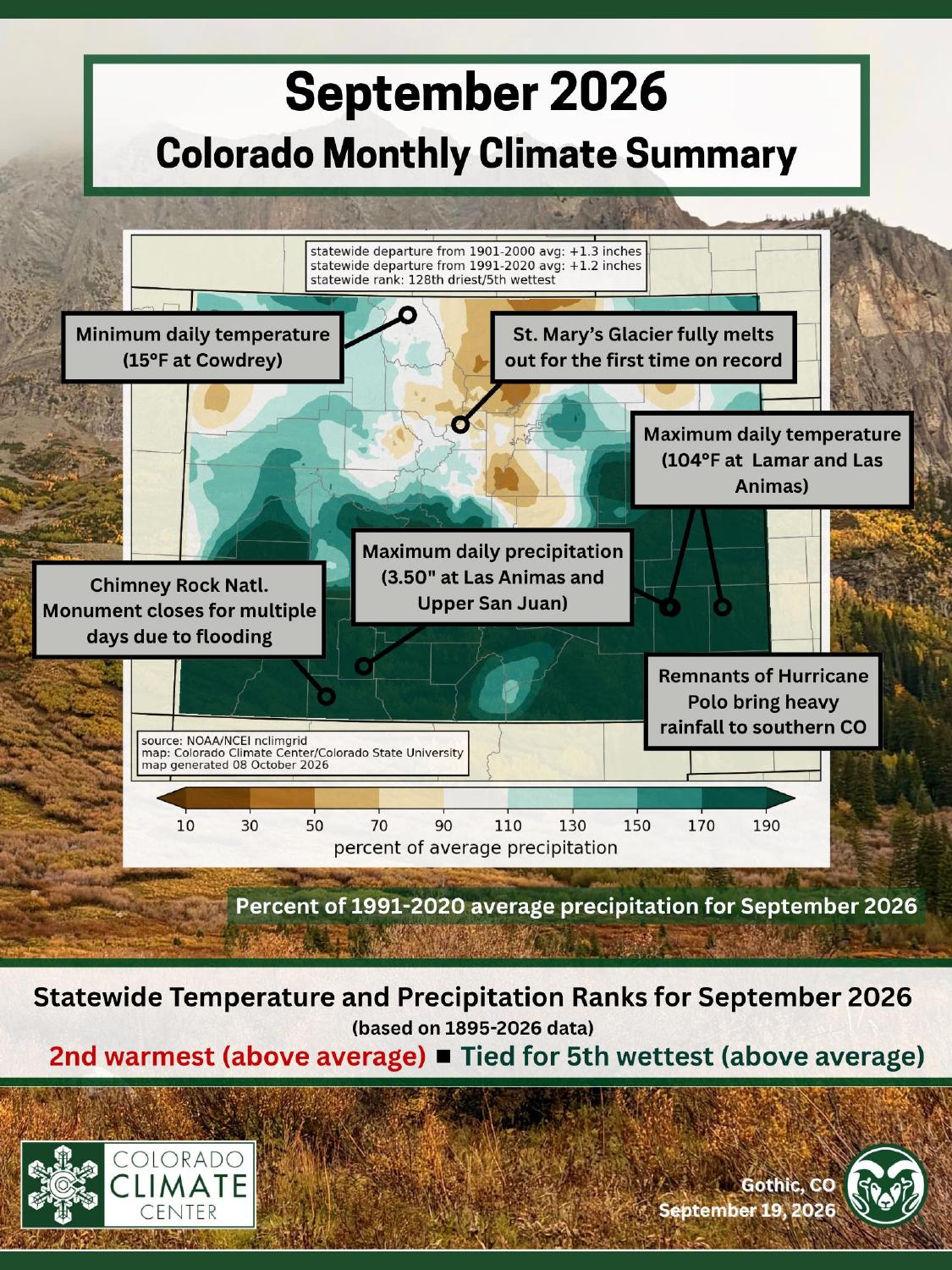
The Colorado Climate Center (CCC) released its monthly climate summary for September 2026 on Thursday, Oct. 8, closing out a record-warm water year with a month that was both very hot and, for much of southern Colorado, unusually soaked.
It was the state’s 2nd-warmest September in 132 years of records, and the 16th consecutive month of above-average temperatures.
Statewide, September ran 5.5°F above the 20th-century average and 3.9°F above the 1991-2020 average, finishing just 0.1°F cooler than September 2019.
The CCC said the warmth was driven especially by persistently warm nighttime lows, and that much of northeastern Colorado had its warmest September on record, while temperatures in the southwest were less extreme.
Moisture was the other half of the story. Multiple surges of subtropical moisture arrived in the second half of the month, and statewide precipitation finished 1.23 inches above the 30-year average, tied with 1940 for the 5th-wettest September on record.
Some spots in both southwestern and southeastern Colorado recorded their wettest September ever. northern Colorado missed out: some Front Range locations saw less than half of their typical September precipitation.

Notable highlights in September:
- Statewide rank: 2nd-warmest September on record (132 years), tied with 1940 for 5th-wettest
- 16th consecutive month of above-average temperatures in Colorado
- July-August-September was by far the warmest on record, 3.8°F above the 30-year average and 1.5°F above the previous record, set in 2022
- Maximum daily temperature: 104°F at Lamar 1 and Las Animas 2 (Sept. 7)
- Minimum daily temperature: 15°F at Cowdrey (Sept. 10)
- Maximum daily precipitation: 3.50″ at Upper San Juan SNOTEL (Sept. 17), tied by Las Animas 2 on Sept. 30
- Highest overnight low: 74°F at Gateway 1ENE (Sept. 14), tied by Lamar 1 on Sept. 7
- Drought coverage fell from about 89% to about 82% of the state, with about 18% now drought-free
- St. Mary’s Glacier melted out completely for the first time on record
- Flooding and debris flows hit southern Colorado, including a multi-day closure of Chimney Rock National Monument and another debris flow in Beulah
A record warm season, capped by a very warm month
The CCC’s quadrant charts place September 2026 in the warm-and-wet corner of the state’s 132-year record, a rare combination in a year defined by heat and drought.

The monsoon-season window, July through September, was extremely warm and only slightly wetter than average, ranking 33rd-wettest at 0.59 inches above normal while setting a new record for warmth.
Records tied and broken
Warm nights did most of the record-setting. Statewide, 611 daily high-minimum temperature records were broken and 160 tied during the month, along with 17 monthly high-minimum records broken and 14 tied.

Daily precipitation records told the other half of the story, with 144 broken and 36 tied, plus seven monthly precipitation records broken and one all-time precipitation record broken. No all-time high temperature records fell this month.
Drought eases, but the worst of it holds in the mountains
Widespread September rain brought real drought relief. At the end of the month, about 82% of Colorado was in some form of drought, down from about 89% at the start. Severe to exceptional drought (D2-D4) shrank from about 75% of the state to about 58%, and roughly 18% of Colorado was drought-free.

Most of the southern half of the state, along with the far northeastern and northwestern corners, saw more than twice its normal September precipitation, which produced one- to two-category improvements in the U.S. Drought Monitor. The drought-free area on the eastern Plains expanded further south and east.
The relief wasn’t universal. The worst drought conditions remain centered over central Colorado, including most of the mountains, and parts of central Colorado and the northeast Plains were drier than normal. Exceptional drought (D4) was newly introduced to the Broomfield area, central El Paso County, and central Park County.
Flooding in the south, and a first for St. Mary’s Glacier
The same moisture that eased drought brought flooding. In mid-September, heavy rain and thunderstorms hit southwest Colorado, prompting reports of flooded roadways and debris flows and a multi-day closure of Chimney Rock National Monument near Pagosa Springs.
Later in the month, the remnants of Hurricane Polo combined with a secondary low-pressure system to deliver more heavy rain, with localized debris flows reported in a few areas, including once again in Beulah, near where the Aspen Acres Fire burned earlier this year.
The month also produced a marker of the year’s heat and low snowpack. According to many sources, including the CCC, Saint Mary’s Glacier, a permanent snowfield in Clear Creek County, melted out completely for the first time on record.

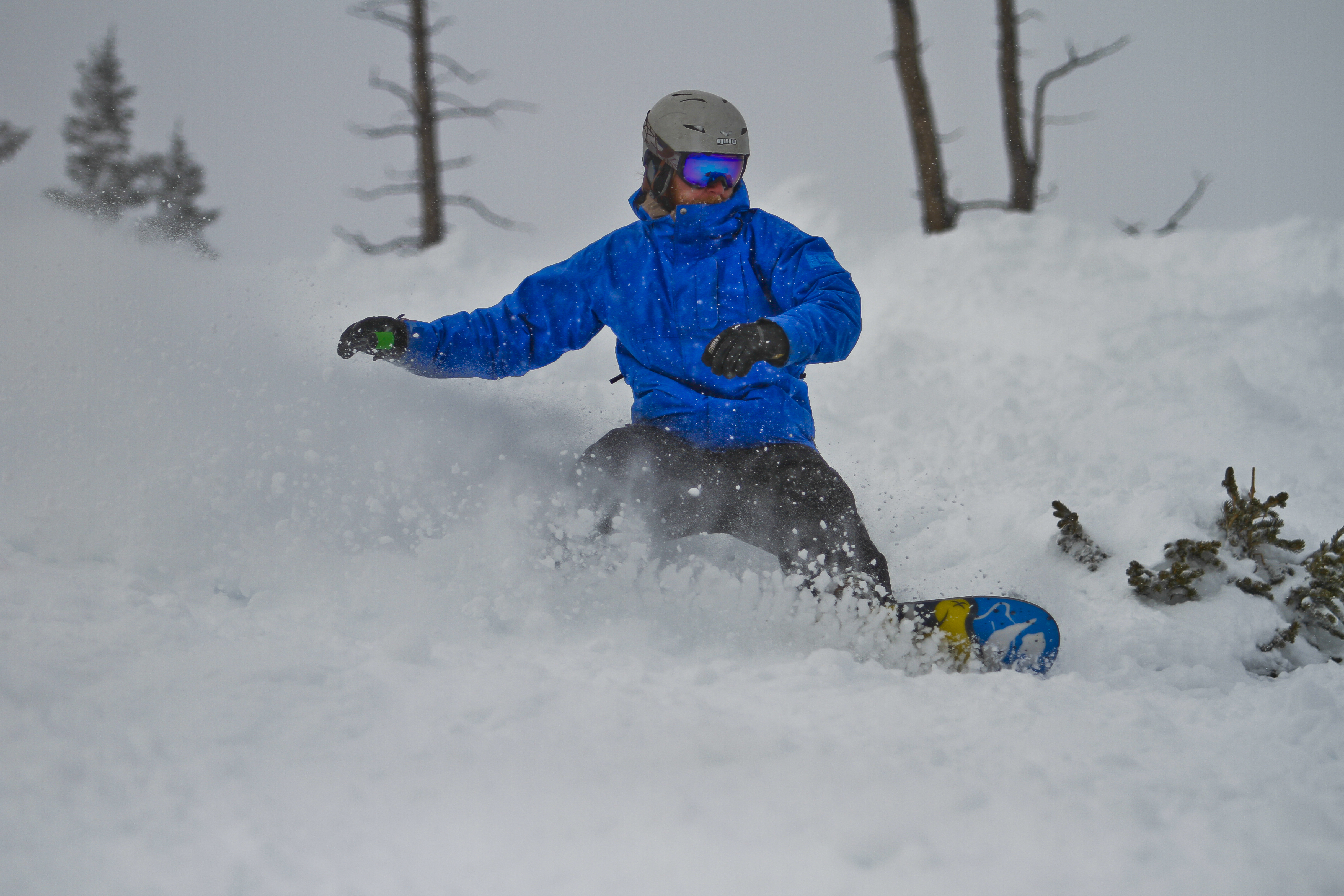
The feature typically offers a reliable year-round refuge for skiers and snowboarders, but by mid-September it was gone.
Discover more from Rocky Mountain Journal
Subscribe to get the latest posts sent to your email.