“My first week in the San Juans has been nothing short of epic!”
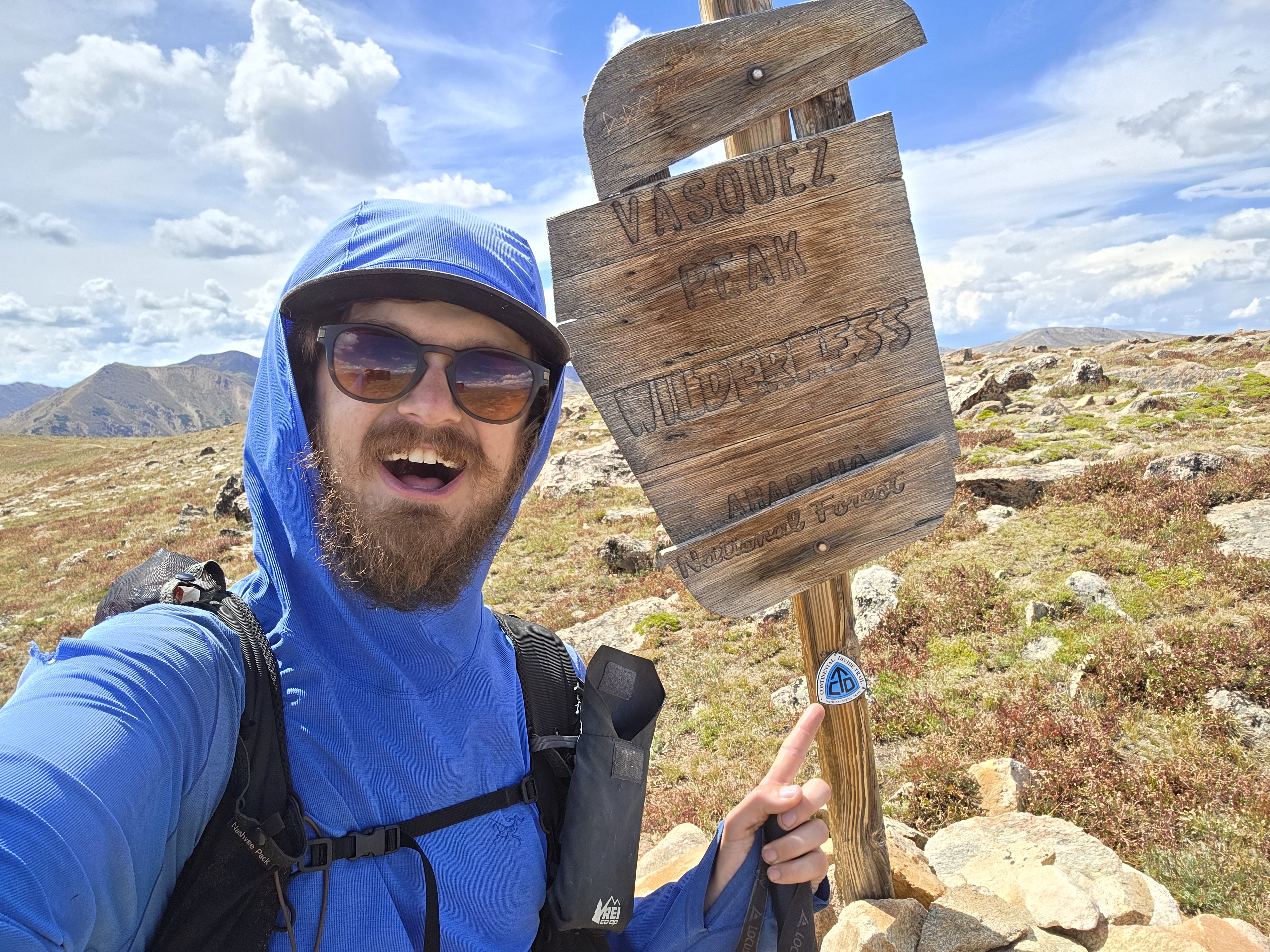
Donovan Rice has now been hiking the Great Colorado Route for 35 days, and has walked approximately 457 miles over that time span.
His accounts during week 5’s transition from the canyon lands to forests and tundra included a resupply in Ridgway, summiting Mt. Sneffels, adding 10 extra miles to his route because of an active mine and being hosted by the town of Ophir.
Resupply at Ridgway, head for the San Juan Mountains
It was a good thing Rice hiked into Ridgway on Day 28.
The United States Post Office will only hold delivered packages for you up to 30 days – on a vacation hold, according to the USPS – before returning it to sender.
But Rice was early enough to pick up his ice axe, helmet, snowgators, sleeping pad and afew other items, all essentials for trekking through the mountains of southwestern Colorado.
“Even though it was a low-snow year, it doesn’t mean it is a no-snow year,” Rice said.
To start Day 29, Rice did some road walking south of Ridgway before linking up with the Dallas Trail, taking him into the Uncompahgre National Forest and closer to Mt. Sneffels.

Rice also said he was very happy to see regular running water after experiencing very low and irregular running water in the canyon lands during the prior two weeks.
Finding solace on Snow Mountain
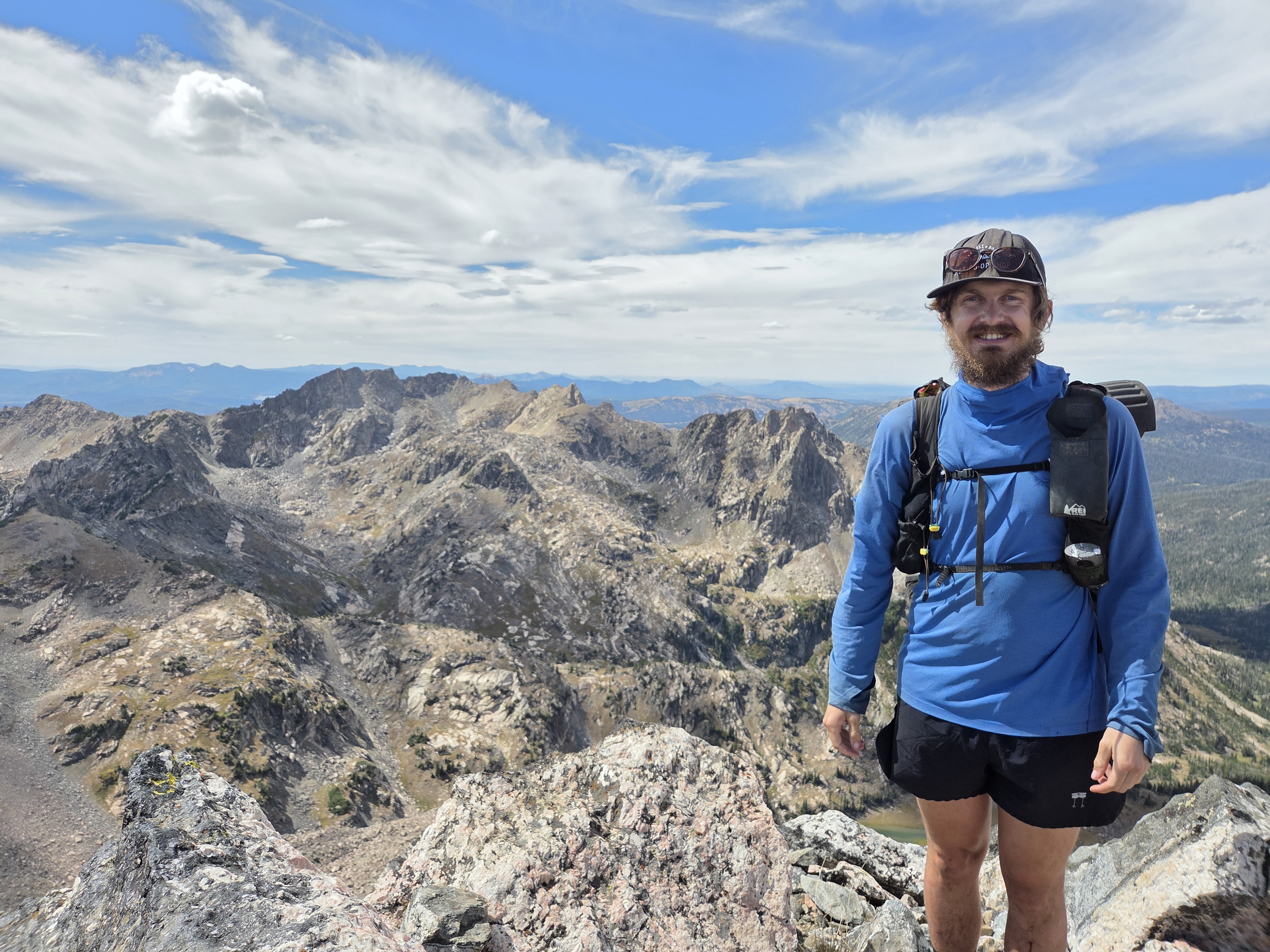
Day 30 was a gorgeous hike up the Blue Lakes Trail, passing Lower, Middle and Upper Blue Lake lakes before Rice ascended the rocky and jagged Mt. Sneffels.

Cresting Blue Lakes Pass first, Rice made his way north up the established southwest ridge to the top of Mt. Sneffels, scrambling some of the last pitch to the top.
For his descent, because he is making this a thru-hike, Rice picked a less steep gully that dropped into Yankee Boy Basin and reconnected to the Blue Lakes Trail.
Often called “Queen of the San Juans” Mt. Sneffels is one of the most photographed mountains in Colorado. It was featured in Hollywood films “True Grit” and “How the West was Won” and the name “Sneffels” itself is actually an Americanization of Snæfell, an Icelandic word for “snow mountain.”

Rice concluded Day 30 by hiking part way up Governor Basin instead of hiking down to Ouray, a choice that came with discourage.
Oops, this way doesn’t go
On Day 31, Rice found out his planned route into Telluride was impeded by a gate blocking the route at the Revenue-Virginius Mine making for an interesting 10-mile detour.
“I made my way up Governor Basin, hit a no trespassing sign, turned around and went up Imogene Pass, then took the ridge from Fort Peabody to Telluride Peak to Ajax Peak before dropping down to Bridal Veil Falls and into the town of Telluride,” Rice said of his experience around Sneffels.
The OHV road that is Imogene Pass is steep but wide, making for what Rice thought would be the established route after hiking it instead of Governor Basin and through Revenue-Virginius Mine.
Rice did get to see one of the most photographed waterfalls in Colorado, however. Rice walked past five waterfalls in total on the day’s hike.

For Day 32, Rice took a “zero” day in Telluride, resting at a resident’s home, exploring the local shops and riding the gondola up to Mountain Village.
“A local, Tyler, let me crash on his couch for two nights so I could have a rest day, which serendipitously lined up with the one rainy day so far,” Rice said.
Back into the wilderness
Rice left Telluride on Day 33, making his way south toward Ophir, encountering continued breathtaking vistas as he traversed ridgelines.

He summited Oscar’s Peak before descending Chapman Gulch into the little hamlet of Ophir. Nestled at 9,625′ with a population of “180 humans, 51 dogs,” according to the Town of Ophir’s website, the town rolled out the red carpet for Rice that evening.
“Getting hosted by the town of Ophir is really special,” Rice said. “Many established long trails have trail towns that love to host hikers, but for this inaugural hike of a hardcore and niche route to already have a town on board for helping hikers is amazing!”
On Day 34, Rice continued south toward Ice Lake Basin, another heavily photographed but beautiful area in the San Juans. He summited Ulysses S. Grant Peak before descending back into the basin, past both lakes, eventually crashing out for the night near Fuller Peak.
Heading into week 6, Rice will push across Colorado Highway 145 and into the San Miguel Mountains where three 14ers in the Wilson Group (Wilson Peak, El Diente and Mount Wilson) stand tall.
Rice said he is tempted to try and summit Gladstone, a 13er south of Wilson Peak, but wants to save his energy for the El Diente traverse while hiking Wilson Peak; which is on the main route of the GCR.
In his own words
Most satisfying moment from week 5
- “The most satisfying moment for sure is Ophir hosting me in their town hall,” Rice said. “It’s one thing to have a stranger to help you out. It’s a whole other level of incredible to see a town get behind me and lend me their resources.”

Most challenging moment from week 5
- “The biggest challenge was hitting a NO TRESPASSING sign at Virginius Pass,” Rice said. “I didn’t expect to see one since the Hardrock 100 ultramarathon uses that route, but I didn’t realize that there was an active mine in Governor Basin and they require prearranged approval before you can pass through their property.”
What he’s learned from week 5
- “My biggest lesson this week is how much more challenging scrambling is with a multi-day pack with camping gear and food can be,” Rice said. “Not only is there the additional weight, but also the additional bulk of the large pack. It makes the more technical moves more challenging as you’re more likely to hit your pack against the rocks and such.”
Discover more from Rocky Mountain Journal
Subscribe to get the latest posts sent to your email.