Extended forecast keeps wet conditions possible into mid-April as statewide snowpack tries to hang on a bit longer
An early-April snow storm brought much needed, and pretty close to forecasted, snowfall amounts to Colorado’s high country over the last threeish-day storm period.
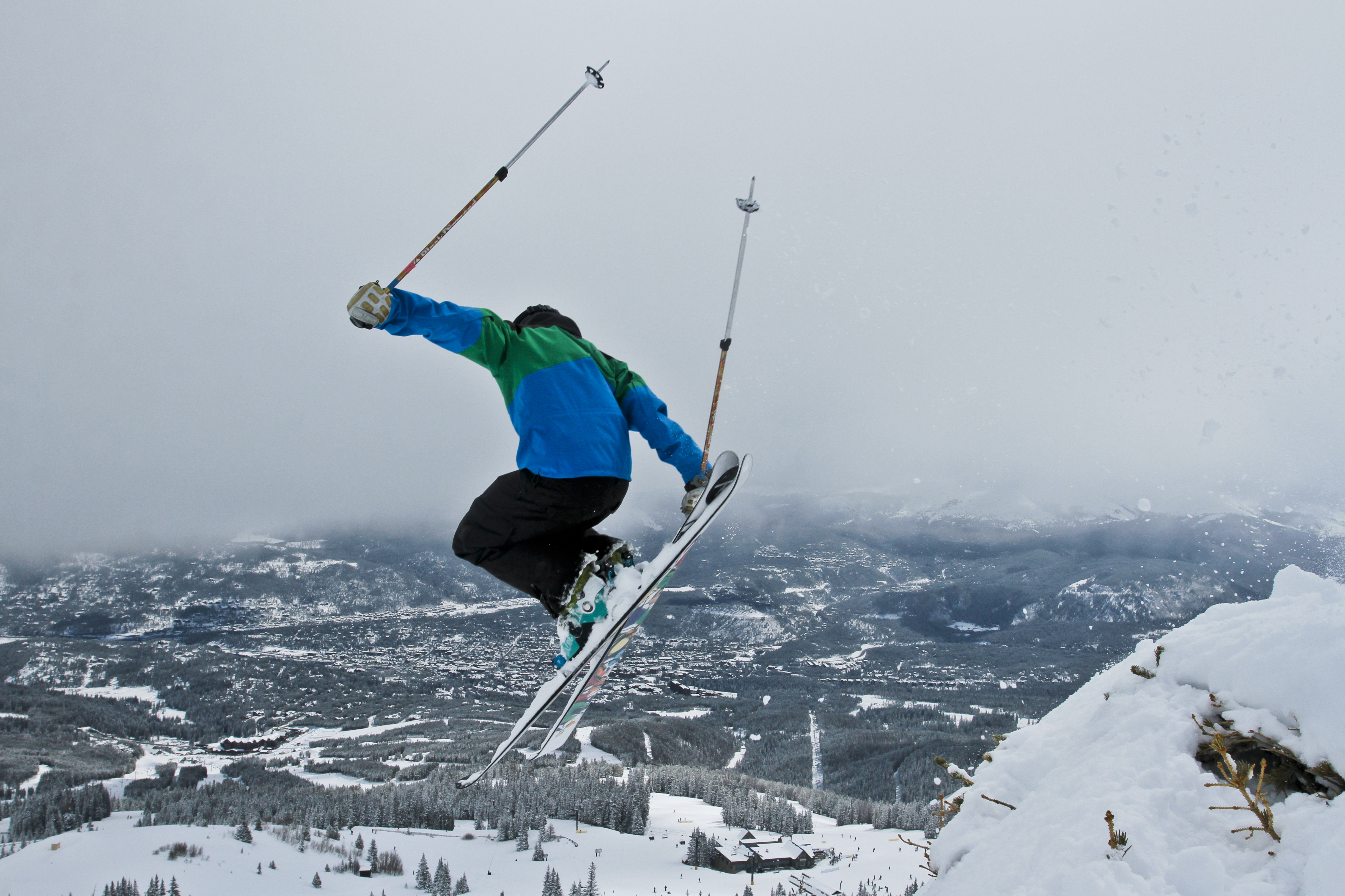
Snowfall totals in the high country ranged from 1-22 inches.
The central and southern mountains benefitted the most from March 31 night into April 2 morning, while the northern mountains received the bulk of their snow from April 1 afternoon into April 3 morning.
Snow returns to the high country in the first full week of April, the extended outlook forecasts more precipitation but will it be snow or rain?
And the statewide snowpack will more than likely not rebound to even 2002’s lowest recorded levels, making winter 2025/26 the worst snowpack on record in both the SNOTEL era and snow core measurements era.
Forecast:
Sunny, drying and warming conditions are forecast for the Easter weekend across all three mountain zones after lingering snow showers in the northern mountains taper off into Saturday, April 4 morning.
High temperatures at the base areas will be in the 30s on Saturday and the low 40s on Sunday.
Snow is forecast to develop Monday, April 6 morning in the southern mountains, spreading into the central mountains late Monday night/early Tuesday, April 7 morning, and continues into Tuesday evening.
This snow event appears to have limited moisture from a plume of energy pushing northward from the desert southwest, however the Euro model forecasts snow totals from between 3-6 inches are possible for the eastern San Juan mountains, and between 1-3 inches in the central mountains, mostly in the West Elk Mountains.
Light snow showers are forecast to develop in the northern mountains on Wednesday, April 8 and last through Friday, April 10 evening, mostly staying north of I-70 with the heaviest amounts possible in the Park, Elkhead and Medicine Bow ranges near the Wyoming/Colorado border.

This storm system is forecasted currently to produce between 5-9 inches of snow for the areas listed above, however, that could change because the forecast is about six or seven days out.
Long-range forecast:
After April 10, stormy conditions are probable across Colorado for about a week, as the extended forecast shows moisture crawling across the state from April 10-17/18.
A mostly zonal flow (west to east) is forecast to transition unsettled air across Colorado, potentially bringing more rain and/or snow for several days during this time period.

However, A. given how winter 2025/26 has gone, and B. it’ll be mid-April by the time this forecasted weather pattern potentially plays out – which as the higher sun angle makes large snow events a bit less likely but not impossible – snow will more than likely still fall, however, it could be above 10,000 feet depending on the associated temperatures with each passing wave of energy.
Colorado’s snowpack:
Colorado’s statewide snowpack got a minor shot in the arm with the early-April snow event from the 1st to the 3rd.
Statewide snowpack levels had dropped to 22% of median average with only 3.3 inches of snow water equivalent locked away.

However, those levels rose a small amount to 27% of median average and back above 4 inches of SWE to 4.1 inches by April 3.

Colorado’s statewide snowpack on April 3 was at 27% of median average and contained only 4.1 inches of snow water equivalent locked away in the snow. (Natural Resources Conversation Service).
It is still more than likely winter 2025/26 will not reach the recorded minimum snow water equivalent level line any time during the remainder of the season.
April 8 is the median peak date, with the current record minimum SWE level at 7.4 inches on that date (2002). As of April 3, the SWE level of 4.1 inches is 47% of the recorded minimum SWE for the date of 8.6 inches.
Ski area facts heading into April:
Seven ski areas or resorts are closing on April 5, leaving only seven opening heading into the first full week of April.
The ski areas that are closing are: Crested Butte, Eldora, Keystone, Snowmass, Steamboat, Telluride, Wolf Creek
The ski areas that will march on are: Arapahoe Basin, Aspen Mountain, Breckenridge, Copper Mountain, Loveland, Winter Park, Vail
Aspen Mountain and Vail are scheduled to close on April 19, while Copper Mountain plans to close on April 26.
Arapahoe Basin, Breckenridge, Loveland and Winter Park all have said they will stay open in some capacity as long as conditions permit.
Wolf Creek probably will not reach the 2025/26 standard’s ‘magical level’ of 200″ of recorded seasonal snowfall this year. Wolf Creek is currently at 192″ on the season.
Discover more from Rocky Mountain Journal
Subscribe to get the latest posts sent to your email.